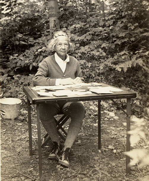
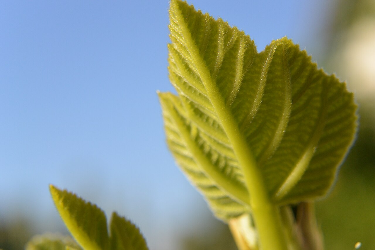
In this edition of P&P we’ll explore the travels and adventures of Ynés Mexía, a late-blooming botanist.
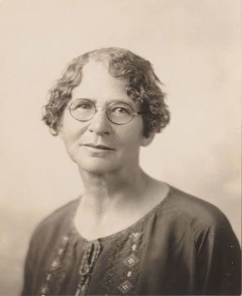
Ynés Enriquetta Julietta Mexía was born May 24, 1870, in Washington, D.C., to Enrique Mexia, a Mexican diplomat, and Sarah Wilmer Mexía. Between birth and when she began her botanizing at the age of 50 she moved around a lot living in Texas, Pennsylvania, Canada, Maryland, and Mexico. She finally settled in San Francisco, California about 1909 where she became involved with several nature conservation organizations and was a strong advocate for saving redwood trees which were being heavily harvested for timber in the early 1900s. Her growing interest in nature inspired her to enroll at the University of California Berkeley in 1921.
She was 51 and had never taken a botany class.
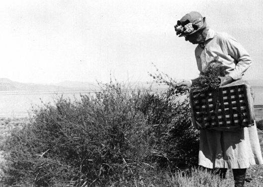
A 1925 university expedition to Mexico confirmed Mexia’s interest in botany and started her collecting plant specimens—a vocation she pursued until her death. On this, her first expedition, she collected 500 specimens which is the same number collected during Darwin’s voyage on the Beagle.
Ynés was the first Mexican American female botanist at a time when botanical field work was considered unfeminine and dangerous. But she had goals to pursue and refused to believe that a botany expedition was impossible for a woman. Her first plant collecting adventure was to Sinaloa, MX. She spent two years exploring the area and collected more than 1500 specimens. Not a bad start for a new endeavor.
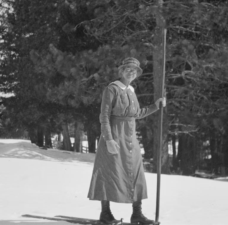
Over the next 13 years she traveled all over the Americas, from the southern tip of Tierra del Fuego to the northern reaches of Alaska. On her 1928 expedition to Mt. McKinley she became the first person ever to collect samples in what is now Denali National Park, AK. This expedition yielded 1600 specimens.
In 1933 she and several companions botanized throughout parts of Arizona, Utah, Nevada, and California in an open Model T Ford. This trip yielded over 1300 samples.
Through her short career of only 13 years Mexia collected almost 150,000 botanical specimens, finding more than 500 new species of plants with 50 plant species being named in her honor. If you’d like to learn more about these 50 search for plants that have “Zexmenia,” “mexiae,” or “mexicanus” as part of their binomial. Or just search for “plants named for Ynes Mexia.”
Curators are still evaluating her collections and will be for years to come.

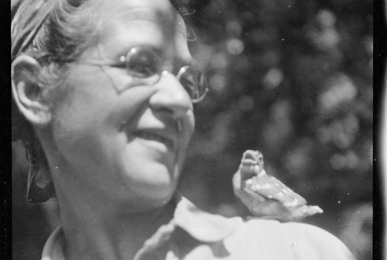
Ynés was known for her expertise in fieldwork, resilience in the face of difficult and dangerous conditions and her impulsive generous personality. Also her knowledge of Central and South American culture, natural environment and her fluency with Spanish benefitted researchers in fields other than botany.
Ynés Mexía was a pioneer at a time and in a field that didn’t actively encourage female participation. She undertook long arduous travels through dangerous terrain; once she fell off a cliff and fractured her wrist, for the pleasure of collecting rare specimens. She traveled 3,000 miles in a canoe along the Amazon River from its delta to its source in the Andes just to get to a collection site.
“My dryers get all filled up and still numbers of plants sit and look at me and announce that they are waiting to be collected. it is terribly trying to a greedy collector like myself.”
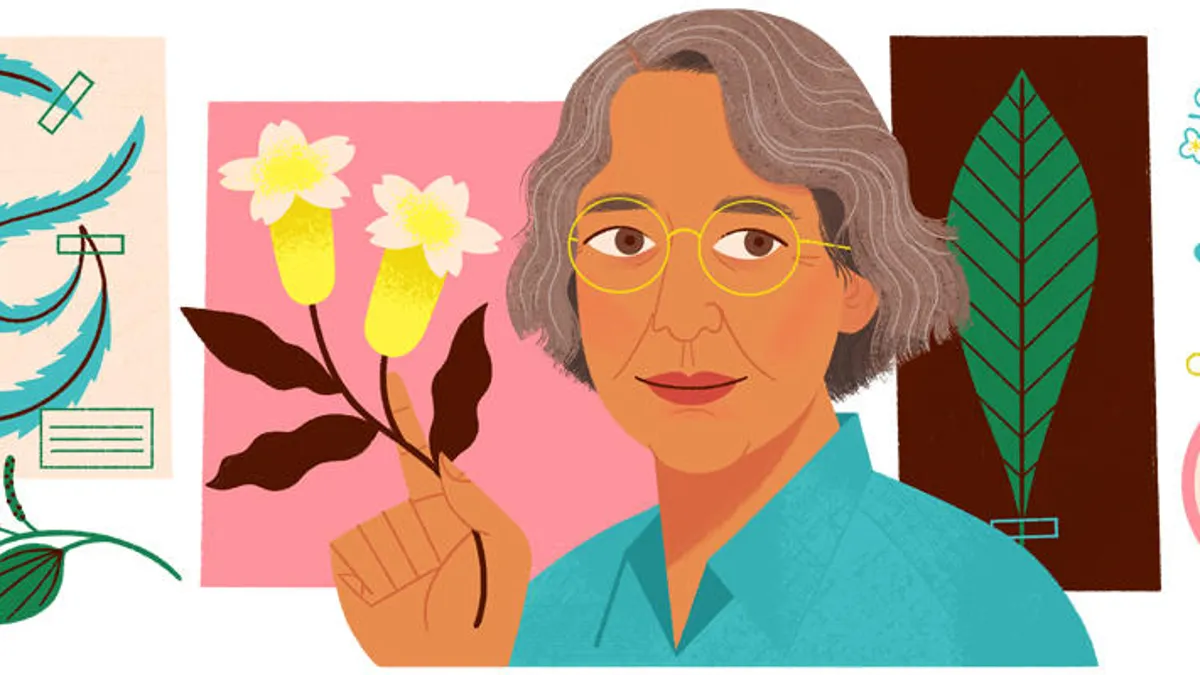
She was even honored with a Google doodle on Sept. 15, 2019.
In 1938 she was on another plant collecting adventure in Mexico when her health finally failed her. She had to return home to the US where she soon passed away at the age of 68.
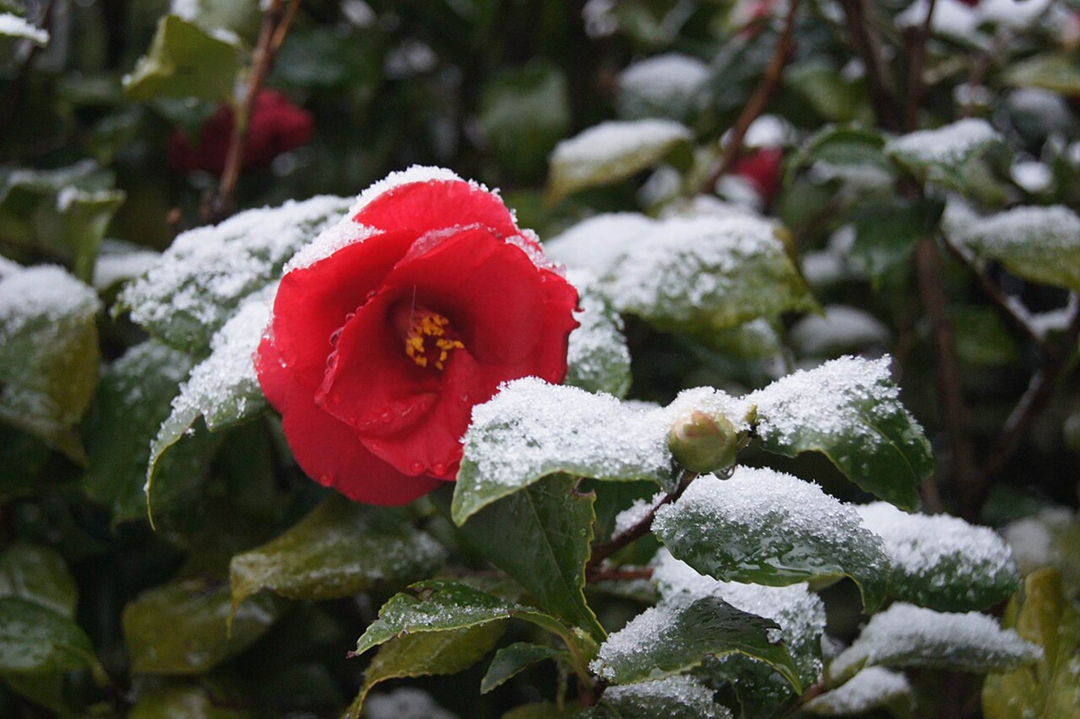
In honor of her life’s work and in recognition of her “first botanical love,” a portion of Mexia’s estate was bequeathed to the Redwood Preserve in California. A 40-acre grove housing one of the tallest trees stands as a living monument to a woman who dedicated her life to understanding the plant kingdom, the Ynés Mexía Memorial Grove in Montgomery Woods State Natural Reserve.


