The world of beneficial arthropods (insects and their relatives) far exceeds some of the common critters that we often associate with this category. Many of them perform vital functions in our own yards, gardens, and ecosystems all over the world. A very small sliver of all arthropods are considered pests of any kind though there are certainly some pretty devastating pests in this category. Most of these other organisms are either providing benefits or maintaining important ecosystem functions.… Continue reading this article “Underrated Beneficial Arthropods Part 1: Pollinators”
People and Plants
In this late fall edition of People and Plants we’ll take a look at an early American female botanist, Martha Daniell Logan.

She was born in 1704 in St. Thomas Parish, South Carolina, the second child of Robert Daniell and his second wife Martha Wainwright. After her father died in 1718 she inherited his land along the Wando River. In 1719, Martha married George Logan, Jr.… Continue reading this article “People and Plants”
5th National Climate Assessment and an Update on the Plant Hardiness Zone Map
This month has been an exciting one for climatologists around the United States with the November 14 release of the Fifth National Climate Assessment (NCA5), a massive project that is undertaken every four years to capture our current understanding of climate change based on recent research. I was a chapter author for the Southeast and spent the last two years working with over 700 authors around the United States to gather and document how the climate is changing and how it is affecting all of us.… Continue reading this article “5th National Climate Assessment and an Update on the Plant Hardiness Zone Map”
Plant Disease Primer- Part 4: Going Viral
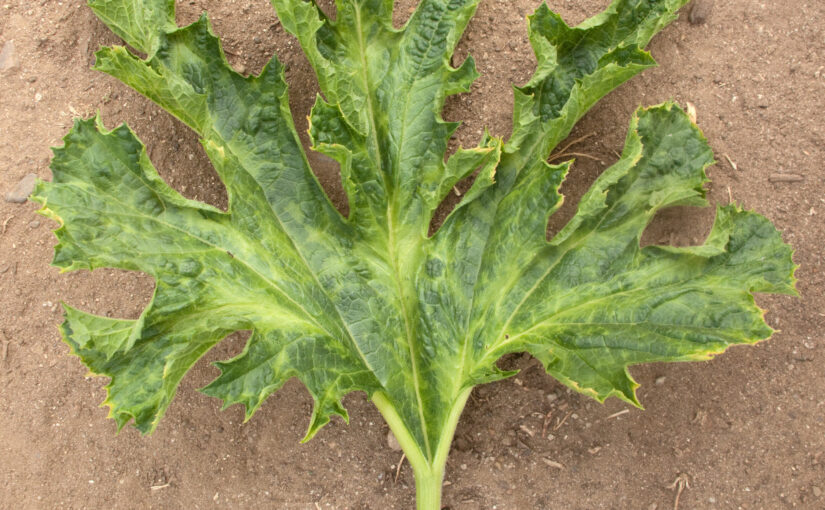
Previously in this series I started with some plant disease basics and then covered some common fungal diseases and then bacterial diseases. Now let’s turn our attention to viruses. Just like with fungi and bacteria before, in this installment I’m going to talk about some of the most common viral plant diseases with some suggestions for treatment and prevention. This by no means will be an exhaustive list of diseases (there are so many!), but I hope to cover some of the most common ones that trouble gardeners.… Continue reading this article “Plant Disease Primer- Part 4: Going Viral”
Ok–I know something is wrong, but what is it?
Facebook and other social media attempt to help us solve problems. This group and others seek to inform gardeners and solve problems they are having growing plants. Looking at queries and posted responses there is so much information missing, leading to wrong and misleading comments in many of these discussions. I think it is a good idea to reexamine the diagnostic process and how gardeners can solve their own diagnostic questions.

How accurate is the USDA Plant Hardiness Zone map?
UPDATE: As of 11/15/2023, the USDA has published an updated Plant Hardiness Zone map that covers the 1991-2020 period, which includes a lot of the warmest years on record for the US. This map shows more detail than the old map and generally increases the zones in most areas by maybe a half-category. It also now includes Canada and Mexico. You can see it and read about it at USDA Plant Hardiness Zone Map | USDA Plant Hardiness Zone Map.… Continue reading this article “How accurate is the USDA Plant Hardiness Zone map?”
How many plants are native to urban areas?

The emotionally-charged native plant debate only seems to be growing. Well-meaning but misinformed decision-makers continue to institute native plant policies with pressure from special interest groups. Most recently, North Carolina’s General Assembly weighed in on the side of emotional appeal rather than research-based information in mandating “that native trees, shrubs, and other vegetation are [to be] used for landscaping at state parks, historic sites, and roadways.”

Don’t get me wrong – I love native plants and recommend the use of well-suited native plants in gardens and landscapes.… Continue reading this article “How many plants are native to urban areas?”
Plant Disease Primer -Part 3: Fight Bac(teria)
Previously in this series I started with some plant disease basics and then covered some common fungal plant diseases. Now let’s turn our attention to bacteria. Just like with fungi before, this installment of the series, I’m going to talk about some of the most common bacterial plant diseases with some suggestions for treatment and prevention. This by no means will be an exhaustive list of diseases (there are so many!), but I hope to cover some of the most common ones that trouble gardeners.… Continue reading this article “Plant Disease Primer -Part 3: Fight Bac(teria)”
Fall is for planting?
Fall is for planting they say when folks talk about shade trees. But is it? When is the best time to plant a tree? In this blog I will cover tree planting times and other particulars, the drawbacks and good points of these decisions.
So is fall the best season to plant a tree?… Continue reading this article “Fall is for planting?”
What a strong El Niño means for winter weather and our gardens
Earlier this spring, I posted an article about seasonal climate forecasting and noted that we expected to see the development of an El Niño after three years of La Niña conditions ended in March 2023. And sure enough, an El Niño was declared in August 2023 and has been strengthening ever since. It has a 71% chance of becoming a strong event by December or January before starting to weaken, as they usually do in spring or early summer.… Continue reading this article “What a strong El Niño means for winter weather and our gardens”


